Connecting You to a World of Illustration
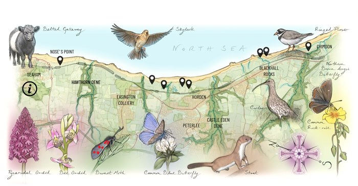
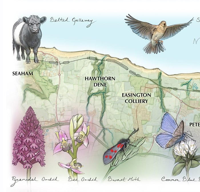
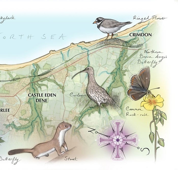
Made for the Coastal Grasslands Reconnected Project, Juliet's map traces the stretch of Durham coastline between Seaham and Crimdon with a sense of discovery.
The full-colour illustration highlights wildlife, habitats, and points of interest across the coastal landscape, while interactive pins connect visitors to drone-shot 360-degree views along the route. The project aims to restore wildflower grasslands and reconnect fragmented habitats across the coast.
Sitting within the project’s digital platform, the map not only acts like a guide but also as an invitation to slow down and look closely at the landscape.